Florida RV Camping – Pensacola
Public RV Camping and Location Maps – Pensacola, Florida
There are 3 RV camping location maps on this page
These maps are provided to assist you in finding RV camping locations near Pensacola, Florida. Locations displayed are approximate, and are offered only as a guide and should not be used for navigation. Public lands are administered by USA and state government departments, and you should consult with the local public land management office for specific RV camping and access information if you are unsure of local policies.
To find RV camping sites near Pensacola, good maps help. We recommend Florida Atlas & Gazetteer by DeLorme Publishing as a great paper recreation atlas. Put that together with DeLorme Topo 6.0 Software and you have a powerful set of tools to find great RV camping sites.
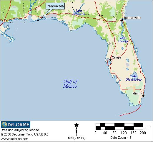
Pensacola Location
Located in the western “Panhandle” of Florida, Pensacola sits on the Gulf of Mexico and has great weather year round.
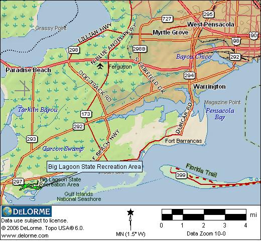
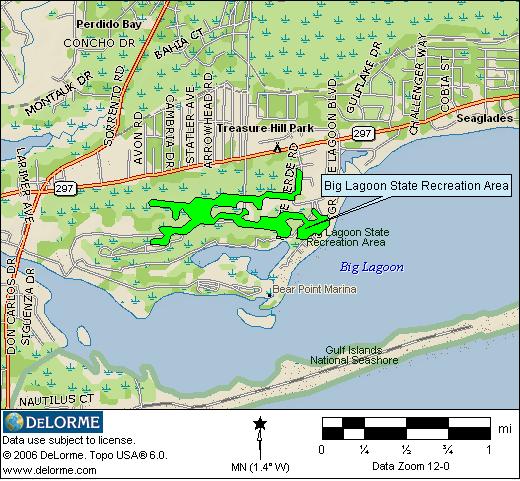
RV Camping Location Map
RV camping is permitted at Big Lagoon State Park. Beaches, boating, swimming, hiking, wildlife viewing and more are available. 75 campsites with electric and water hookups available for reservation through Reserve America. Click on the map for the official Big Lagoon State Park web page.
RV Camping Information You Can Use
The location map images for finding RV camping locations near Pensacola Florida are derived from DeLorme Topo 6.0 Software and used with their exclusive permission. These static map images only display a limited area in Florida. DeLorme’s Topo 6.0 covers the entire USA with highly detailed maps that can be zoomed in or out, moved, printed, and interfaced with GPS units. 3-D views, tracking and route planning, as well as map annotation ability are included. BLM administered lands are available free with registration of the program.